Services
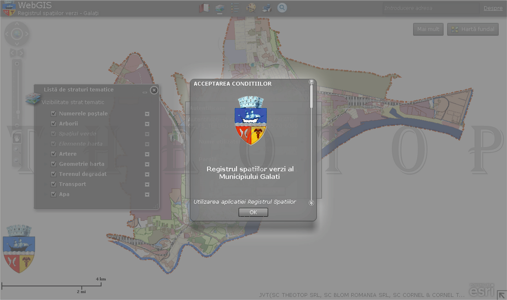
d.4| WebGIS
Web Mapping is the process of generation and distribution maps using the WWW and its characteristics. While Web Mapping addresses to the technological problems, Web Cartography its studying theoretical aspects: the use of web maps as services, evaluation and optimization techniques and workflows, utility maps, social issues and more.
WebGIS is similar with Web Mapping, further emphasis on the analysis and processing of geographic data.
(source:Wikipedia)
WebGIS is open to the new opportunities and horizons, as well as real time maps, updates more frequent and cheaper data and programs, map content personalization, distribution sources and sharing geospatial data in real time.
WebGIS site requires servers and data storage applications installed on the user client. The servers are usually use for store geospatial databases, automatic/manual geoprocessing or ortophotoplans.
Spatial databases allowing textual/spatial queries, selecting, deleting, adding, modifying geometry, redesigning objects or importing/exporting data.
Web maps are displayed in standard images format (PNG, JPEG, GIF or SVG) for different scales and are called "tiles". Web mapping services consist of respecting international standards set: WMS, WFS, WFS-T, ESRI Open REST, etc.
The most important types of products WebGIS are:
- Analytical web maps: GIS analysis using data provided by the user or loaded; eg. Free Analytical Reports, Charts & Maps
- Animated web maps: changes over time applied animations using temporal variables - weather maps, traffic, transportation routes etc.; eg. Animaps Showcase
- Collaboration web maps: collaboration for creating and improving people's web maps; eg. OpenStreetMap, WikiMapia
- Dynamic web maps: create custom user maps using dynamic data sources; eg. ESRI Maps - Mexico Geography, ESRI Maps - Natural's Wonders
- Online atlases: wide audience, production cheaper, providing a large number of maps and map types and uses online resources data; eg. National Geografic, World Atlas
- Real Time web maps: the situation presents a phenomenon close to the situation in real time (weather maps, traffic etc.); eg. Lightning Maps
- Static web maps: only used for visualization, animations and other interactions with the user (eg. Scanned maps); eg. Google Maps API, Mapquest
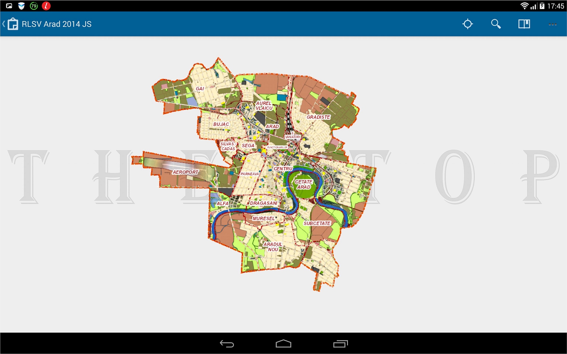
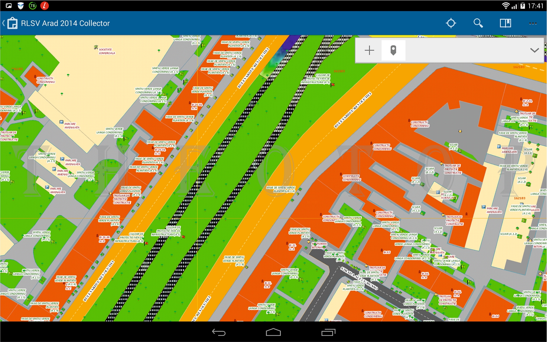
A special case of web maps is the Mobile Maps, displayed on mobile devices such as smartphones, smartphones sites, tablets or GPS's.
Mobile applications and location-based services using geographic location of the device a person (eg. smartphone or GPS) to enhance existing applications and enable new applications and information.
These applications cover almost every aspect related to human mobility and can be grouped into three broad categories: consumer, business and safety of the public.
Combining wireless communication and location determination geoinformation systems and mobile devices opens new directions of development and improvement in information, entertainment, social networking, personal navigation, web mapping, geo advertising, security, etc.
The most common uses of location-based services:
- Recommendation of social events in a city;
- Search the nearest points of interest such as ATMs, restaurants or services;
- Navigating from one address to another;
- Health Services assisted;
- Locating people on a map displayed on the mobile;
- Receiving alerts or notifications on congested routes, traffic jams or discounts at shops in the area immediately around;
- Advertising on mobile devices based on the location of the person;
- Games in which part of the game's location;
- Questions and answers in real time with regard to restaurants, services and other utilities;
- Identify resources to a dynamic distribution: taxi, rental equipment, doctors etc.


