Services
c.2| THE PROCESSING OF SATELLITE IMAGES
Preliminary processing of satellite images (preprocessing) involves the application of the following corrections:
Radiometric corrections are applied to eliminate errors caused by remote sensing sensor and environment. They are:
- Corrections to eliminate errors caused by disturbances generated by the sensor detection system, recording and transmitting data.
- Corrections of changes in the landscape and environment that improves atmospheric and lighting variations.
- Corrections to strengthen the image consisting of performing filtering to eliminate disturbances in the image density changes (grayscale or color) and color coding performance.
- Corrections to remove errors that appear in the image due to unequal response and multispectral detectors for records that are eliminated by processing the image histogram. Histogram parameters are very important as they lead to a new digital image in which each pixel will be calculated another shade of gray value, which changes the tone of informational content.
- Correction to eliminate the temporal variation of the sunlight is applied analogue or analytical, by calculation, for each pixel of the image.
Geometric corrections that apply geometry to eliminate errors that distorts images. This applies to the following corrections:
- Corrections to eliminate the influence of relief, tilt and other image distortion, to compare several images (apply through the recovery process);
- Correlation corrections for comparison with satellite images aerial images (applies analog or digital) and consist in eliminating distortion and distortion caused by the Earth's rotation panorama.
Digital processing of satellite images (processing) can be planimetric for extracting planimetric and/or stereoscopic details altitude additional points to determine the Earth's surface and relief representation.
Non stereoscopic digital processing of satellite images is accomplished by georeferencing or recovery satellite images to be processed, followed by processing them. Such processing methods are different monospectrale, respectively multispectral images. Monospectral digital imaging is accomplished through spatial filtering or blurring that emphasize different spatial frequencies, digital imaging and multispectral imaging refers to a complex in different spectral bands to obtain a new image.
Digital processing stereoscopic satellite imagery is the most accurate and most comprehensive method, which involves the following steps:
- Stereogram images interior orientation;
- Exterior orientation and training model stereogram stereoscopic images;
- Absolute orientation of the model stereoscopic (stereoscopic model orientation in the coordinate system of the plan or topographic maps);
- Operation stereoscopic model (planimetric vectorization details and contour drawing for relief representation).
For processing stereoscopic digital imaging satellite are specialized software that enable stereoscopic design and operation.
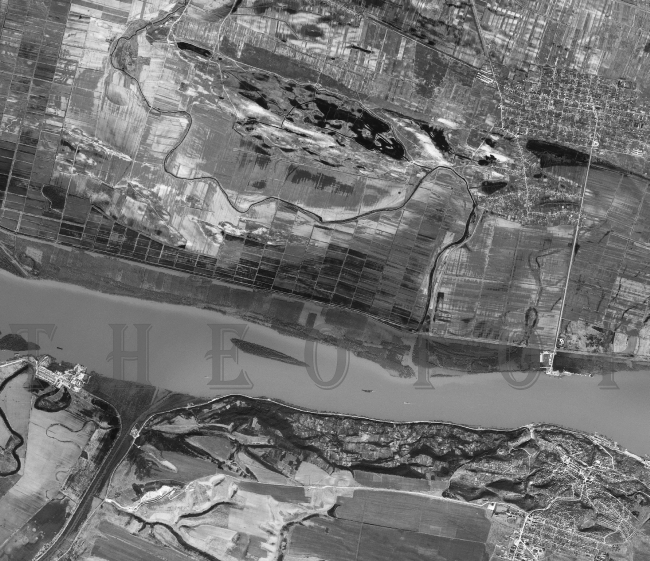
Commercial satellites are equipped with high resolution sensors (0.31-2m) that take picture in domains with varied applicability (source: Satimagingcorp):
Other satellites:


