Services
b.6| GPS
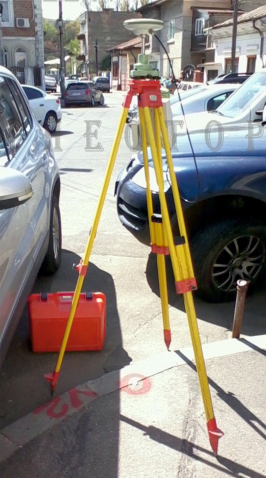
GPS is actually a part of the name NAVSTAR GPS (Navigation System with Time And Ranging Global Positioning System). The project was initiated by the US government in the early 70s. The main goal is the ability to accurately determine the position at any point on the Earth's surface at all times regardless of weather conditions using information on a constellation of 30 satellites work.
Accuracy must be understood according to the user. For a tourist this means around 15m, for a vessel in coastal waters represents a size of about 5m and a surveyor for accuracy equals 1 cm or less.
Static method that involves two or more measurements with GPS receivers located on the points to be determined and are stationed at the same time, a period of time, called session observations. Duration is determined by the length of sides, number of usable satellites, space segment geometry observable assessed PDOP (Position Dilution of Precision) and the accuracy of determining the new network points
RTK method uses a radio data transmission link to transmit satellite data from the mobile base. This makes it possible to calculate the coordinates and display them in real time during the measurement.


